문화예술특별시
지역문화지수 평가에서 우수한 문화자원과 기반을 인정받은 도시 '창원'

Jeokseoksan Hiking Trails
- Address Iram-ri, Jinjeon-myeon, Masanhappo-gu, Changwon-si, Gyeongsangnam-do
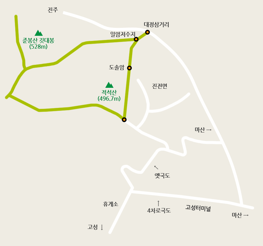
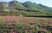
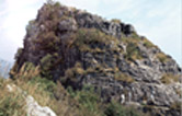
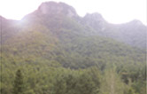
Jeokseoksan Mountain rose after butting up a large rock ridge after the mountain hill flowing down south from Gitdaebong Peak turned eastward. The name, “Jeokseoksan,” was given due to its resemblance to a pile of rocks. However, it is also called “Jeoksan.” While the slopes are quite steep near the summit, comprised of massive rocks, most of the mountain ridges feature simple and gentle slopes. Due to its proximity to the city center and the presence of Mabin Hot Springs, Jeokseoksan Mountain attracts a large number of tourists. There were risks of falling from the trail connecting the first and second peaks of the mountain, as it is on a rocky cliff; however, a 52m suspension bridge connecting the two peaks was built in late 2005 to ensure hikers’ safety.
| Hiking Trails | Route | Distance | Duration |
|---|---|---|---|
| Trail 1 |
Iram Village Reservoir |
2 hr. 30 min. |
Main Facilities Along the Hiking Trails